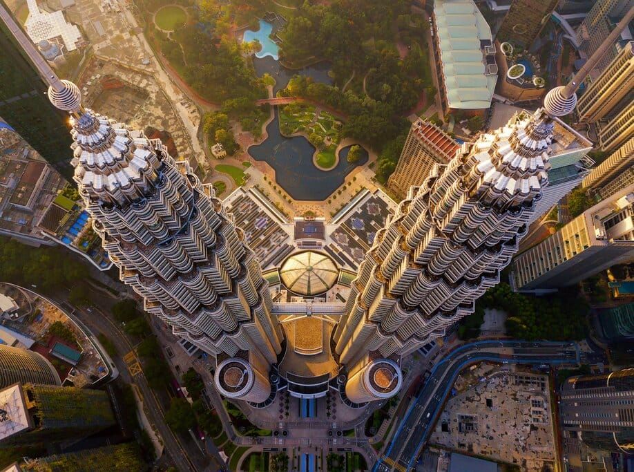
30 fun facts about Malaysia
Today's post is a tribute to Coggnize and outside of our usual podcast episodes. Malaysia, truly Asia, hides many interesting fun facts!
- Klang Gates Quartz Ridge
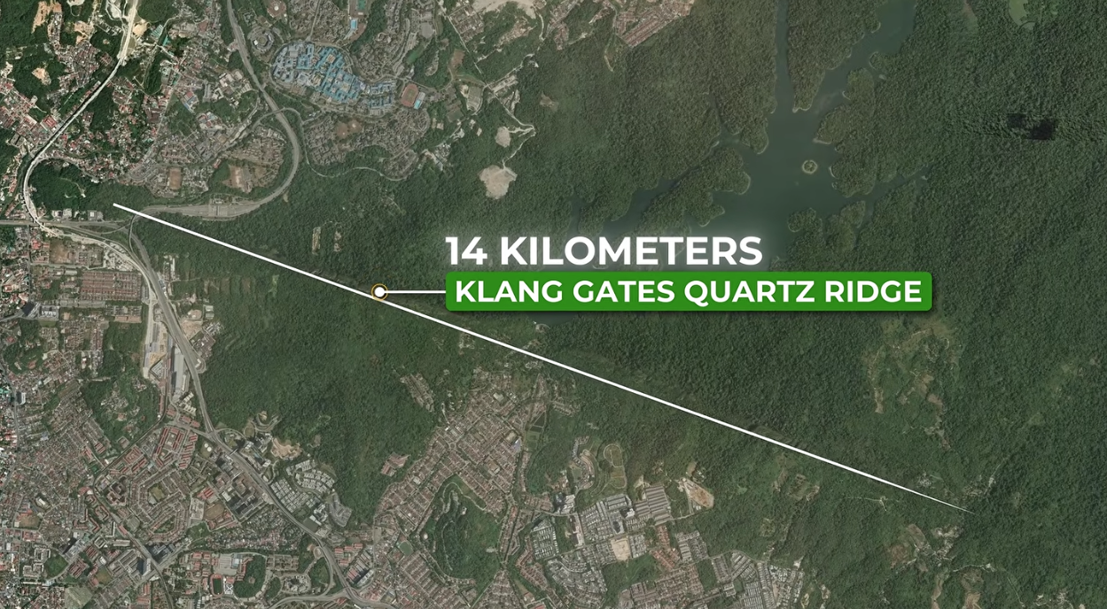
A very interesting Quartz mountain (well ridge is the correct word) that vertically sits at the top at just 1 m wide from a 200 m base, measuring 14km across. This vertical knife is there because every rock around it has weathered away over thousands of years living only the the quartz intact. Hence the name.
- Pulau Tiga - a mythical island born out of mud volcanoes
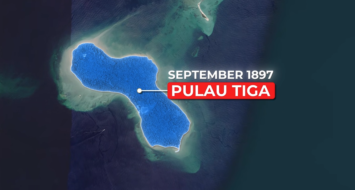
Apparently, islands appeared when in 1897 September, mud volcanoes erupted. Except it turns out this was not the case, that it was documented as an island since 1554 across 40 different maps. The fun fact is there are two more islands nearby that were 'created' in 1897, but that was not Pulau Tiga.
- Largest lake = Tasika Bera
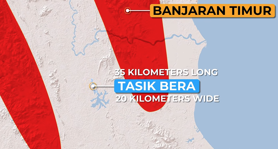
And hey, this is not a lake. It's actually a blackwater peat swamp. Visitors are advised to go only with a guide from the Semalai community, since it can be quite a maze and dangerous!
- Sebatik island - half belongs to Malaysia and half belongs to Indonesia
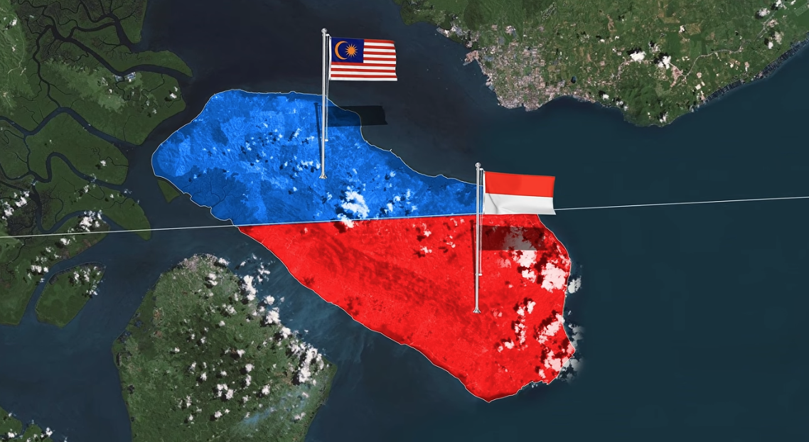
A house used to sit between two countries and was the only two-nation house in Malaysia. In 2026, a new demarcation was drawn and this house is now officially fully Indonesian.
- Bukit Larut, in Taping, Perak, has up to 5,800 mm of rain, double the rest of the country
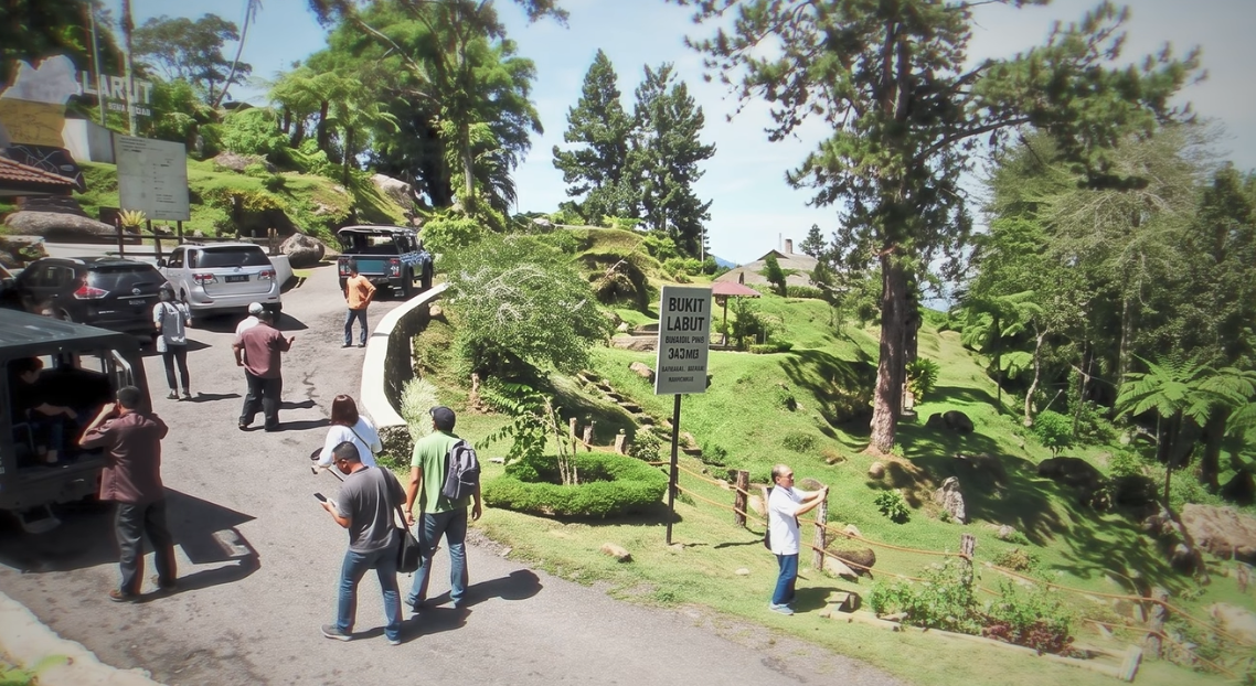
Because it is so narrow and so treacherous, only AWD (4-wheel drive) cars are allowed.
- Bohey Dulang, off of Semporna, turns out to be a volcano.
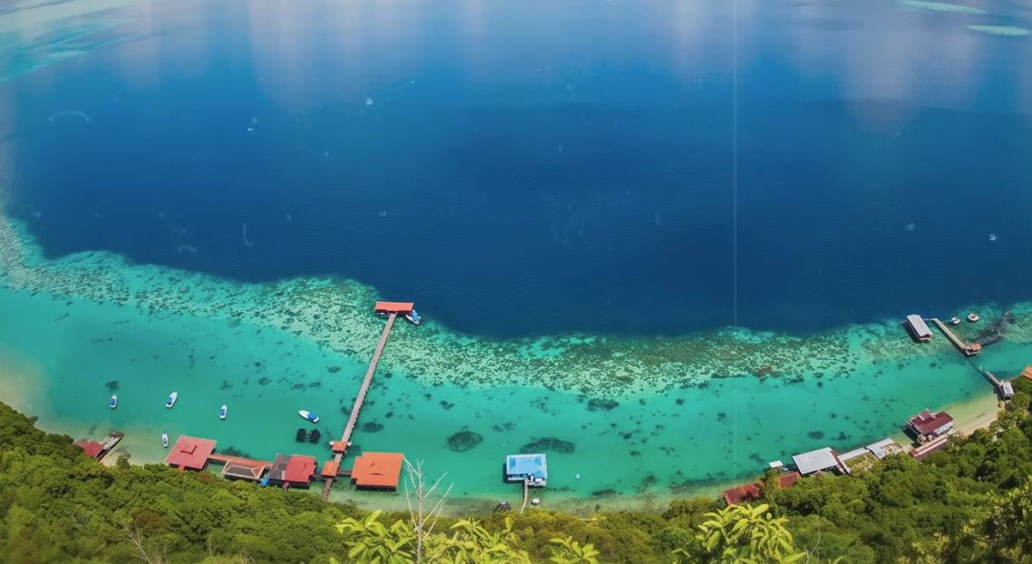
Just imagine the blue water is the crater of the volcano. The coral reefs the edges, perhaps. It's one of the clearest blue waters in Malaysia.
- Gunung Jerai used to be where sailors watch out for to know where they are in the sea
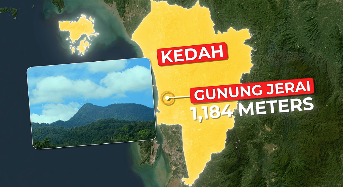
So there's nothing around this little tip of the mountain and since its very clear, has a unique shape, it's also called a prominence and sailors can use it as a landmark. For over a thousand years!
- One Fathom Bank
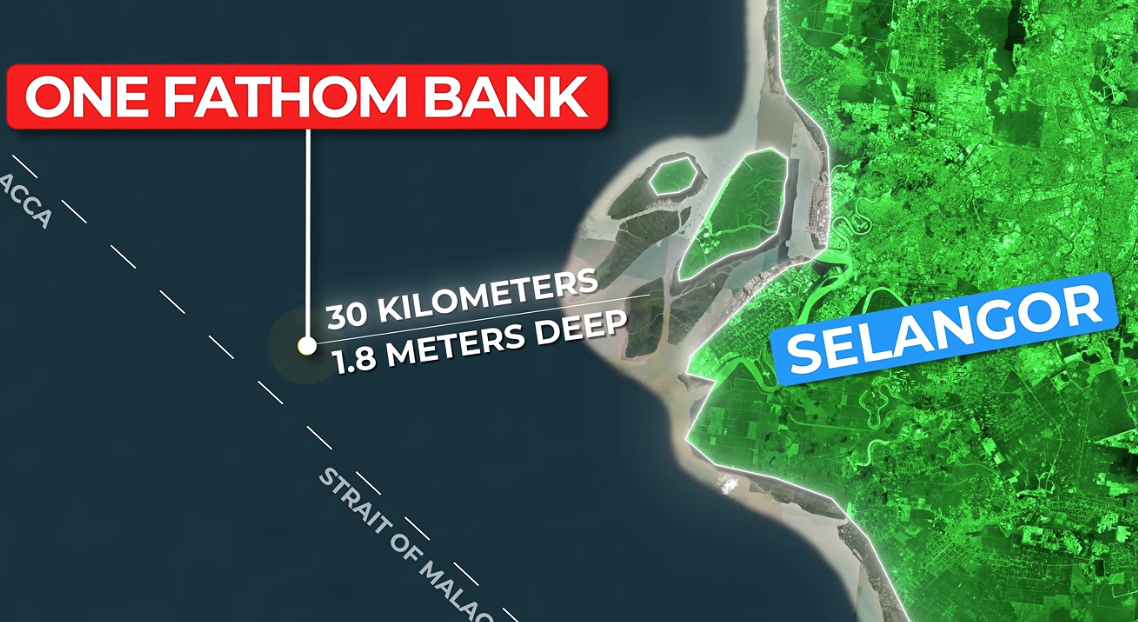
So this little bank that sits 30 km out into the ocean. Is largely invisible to the eye. It has wrecked ships for centuries since you cant see it but its only 1.8m deep. Fun fact within a fact - that one 'fathom' = 1.82m, hence its called the one fathom bank. But to me, its a play on phantom since I am sure, many souls were lost there.
- The most flooded part of Malaysia - Matang Mangroves
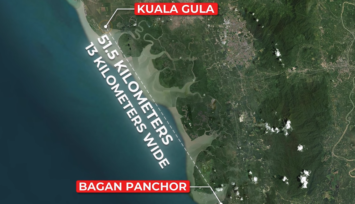
Guess what - this is the longest continuously managed mangrove forest on the planet.
- Bombalai Hill - actually a land volcano
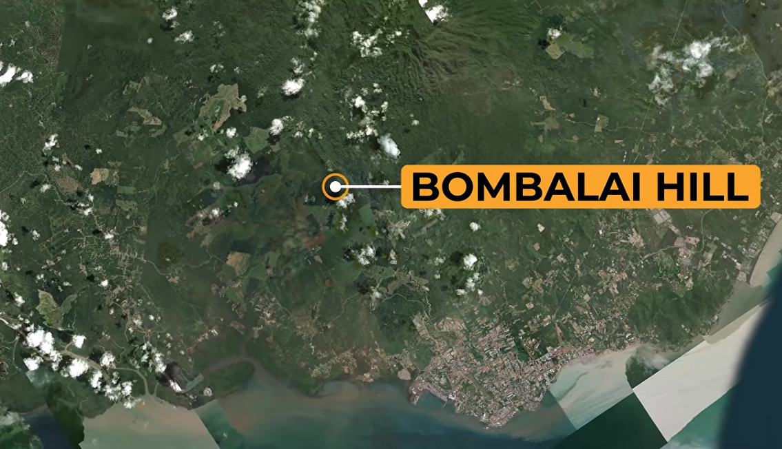
Measuring 531m cone and a 300m crater, the people of Borneo (south of that picture), have no idea they are sitting in front of a volcano. It's been there for 27,000 years.
- Nobody knows which waterfall in malaysia is the tallest
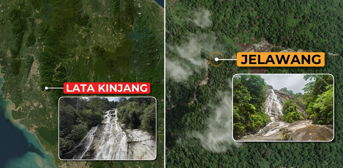
Jelawang sits at 305m, but according to the World Waterfall Database, the Lata Kinjang waterfall sits at 274m and Jelawang at 250m. There are two more waterfalls, Kadamaian in Sabah, and Julan in Sarawak, both thought to be taller too. No one has bothered to actually measure it too.
- Sarawak contains most of Malaysia's swamp
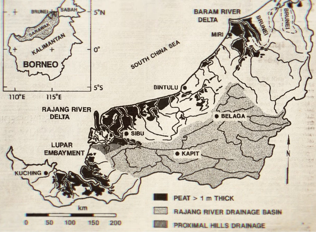
- Biggest island - Pulau Banggi, 440 sq kilometers, highest point 572m, home to 15,000 people
- Batang Lupar, off Kuching, gets the tallest tidal waves everyday reaching out to 3m
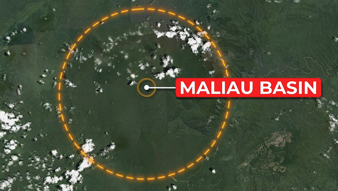
- Maliau basin, almost circular bowl measuring 390sq kilometers
- Tasik Kenyir.. has 340 islands?
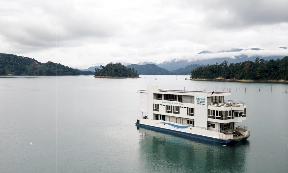
So because of the construction of the Kenyir dam, the waters flood the ground, and what you see as islands are actually hilltops. So talk about being scammed.. hmm
- Solar Noon in Kuala Lumpur, starts at 1:13pm actually.
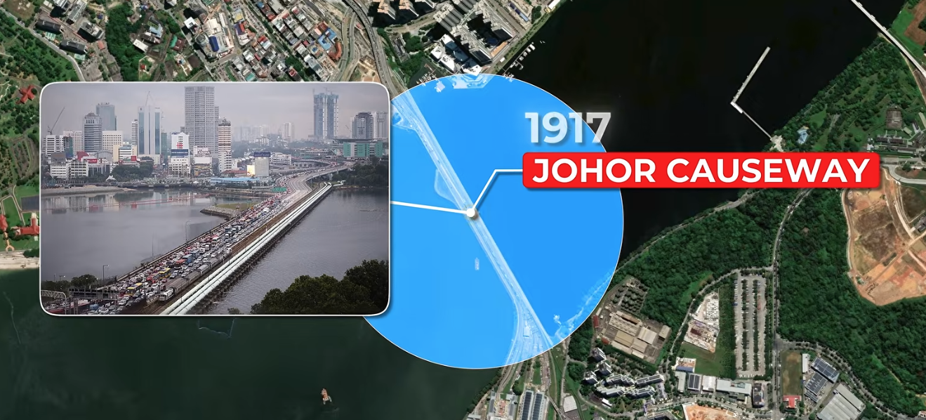
- Johor Causeway separated the straits that sit between Singapore and Malaysia
- Gunung Machinchang holds the oldest rock in Southeast Asia. The Cambrian sandstone, up to 550 million years old
- Sabah sits just below the Pacific Typhoons
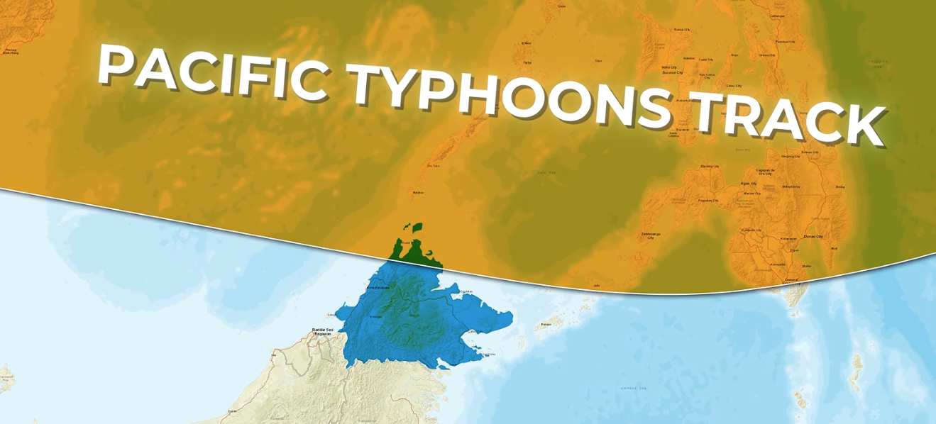
Most of the years, Sabah is very lucky. No typhoons come close enough even though Sabah sits right below the Pacific. But in 1996, Storm Greg decided to pay a visit. Yet, Sabah is protected. The storm didnt become a typhoon, with peak winds only reaching 85km/h. It still killed 238 people and 102 people missing.
- Highest mountain... not in Kota Kinabalu. It's the Gunung Tahan at 2,187m.
- Gunung Api - still growing spires of limestone
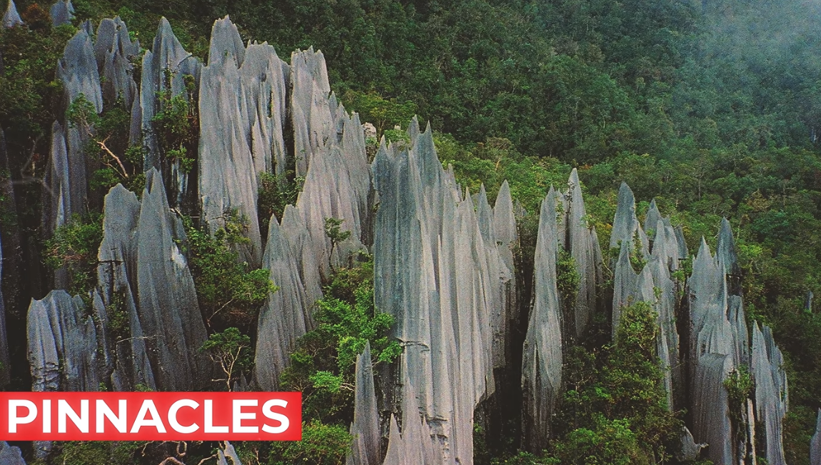
The soil packs alot of carbon dioxide, allowing the spires to grow taller, while the ground sinks lower.
Alright, we are down to the last 8.
- Sipadan - is the only true oceanic island
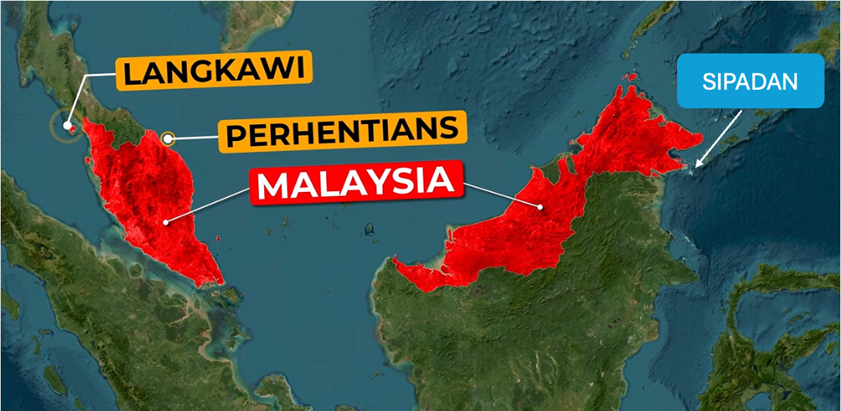
Coral built up over thousand of years on this extinct volcanic cone, rising 600m off the seabed.
- Malaysia is sheltered by oceanic earthquakes, thanks to Sumatra
- Pontian mangrove boardwalk, is the most southern tip of Malaysia, at latitude 1 degree 16 minutes north.
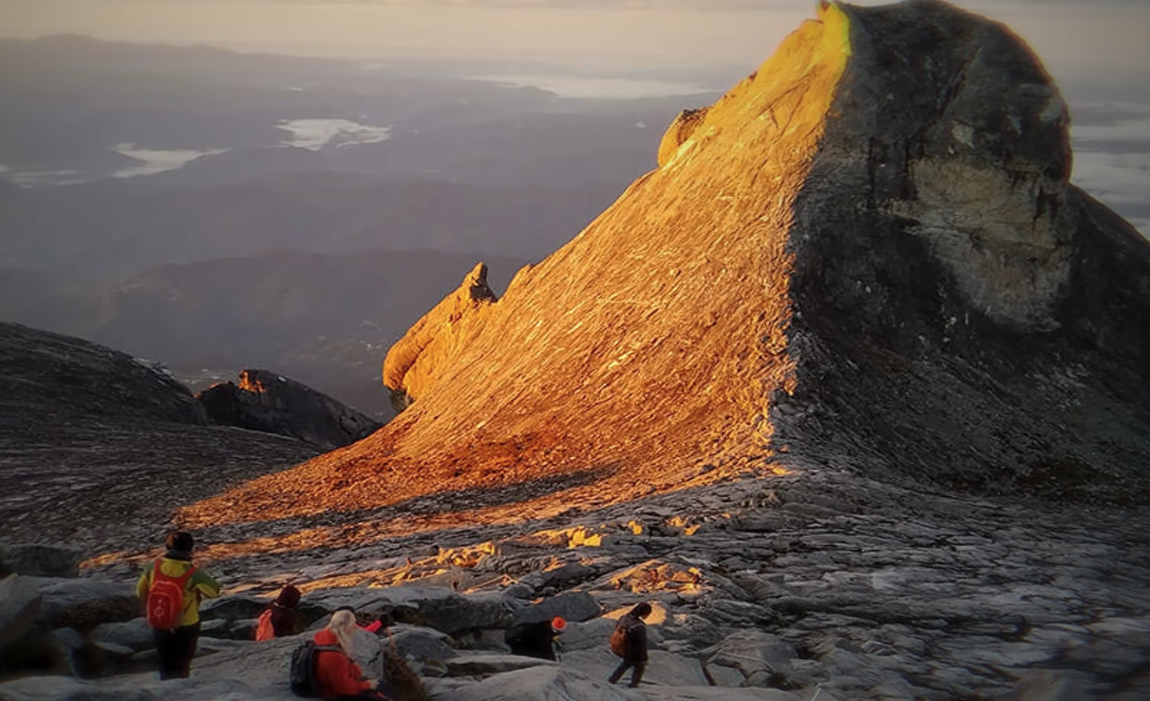
- Low's Gully, a 1800m deep scar formed by ice glaciers, is on Mount Kinabalu
- Lenggong contains a meteor crater that became a farmland
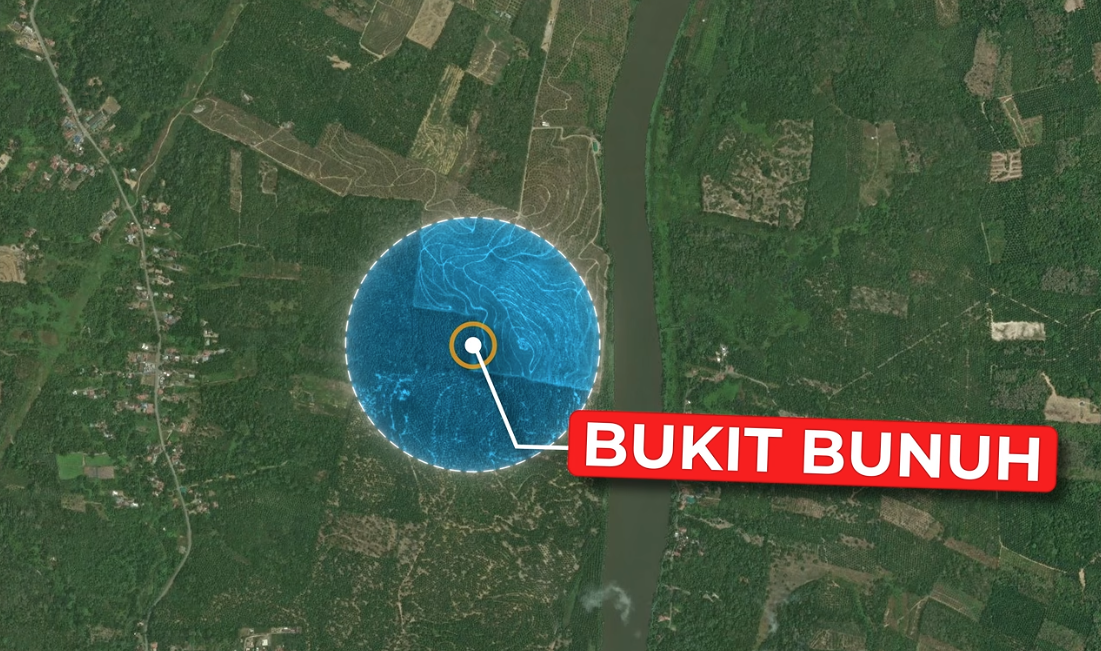
This beautiful farmland contains a type of rock called suevite, formed only in violent, large-scale impacts. This is the only place in Southeast Asia that has these rocks.
- Malaysia penisula actually has a seam
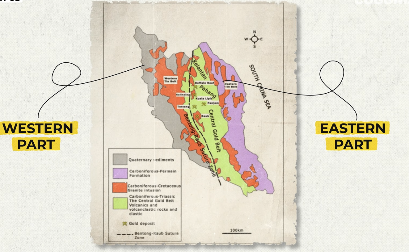
Actually, the main peninsula used to be two parts. Over time, they collided and combined, forming Malaysia. It's called the Bentong-Raub suture zone. Very cool.
- Bario Valley, in Borneo, 1000m above the sea level, is home to the Kelabit people.

Fun fact about this Kelabit highlands - no roads. This means only a forest trail that will take you 7-10 days to reach the coast. You have to fly in, or take a logging track that is about 10-14 hours long.
- The 'ocean' that sits between Malaysia peninsula and Borneo? It's rarely more than 50m deep
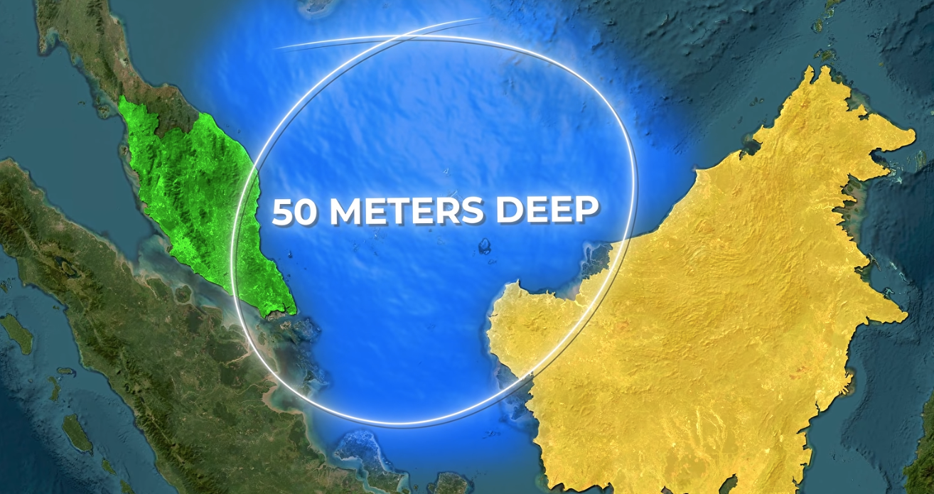
A double fun fact as we end this post,this space, used to be dry land!
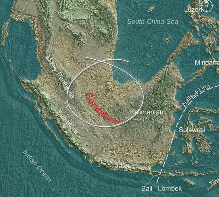
This continuous landmass, used to join Sumatra and Java in one before the ice age melted. It's really all one big land mass.
Hmm.. it does make me wonder about a lot of things!
Source | Coggnize: I researched Malaysia and Found 30 Insane Geography Facts